| Start: |
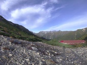
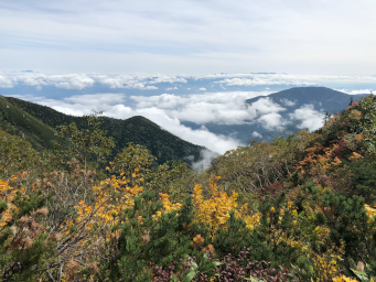
We set off at 6.50am. There's a sea of cloud below us to the East but the sky above is blue and it's clear over to the West.
First task of the day is to climb the steep slope up to the summit of Jonendake. It seems that we are the last people to leave the hut and we can see people already on the summit.
|
 |
| 700m: |
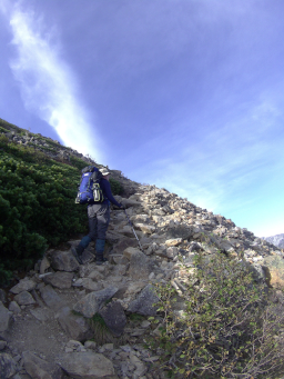
The steep rocky path zig-zags up the slope. It's a cool morning and we're happy to be doing the big climb for the day early in the morning.
|
 |
| 900m: |
It's a fairly steep climb so we take occasional short rests. At each stop we get better and better views looking back over the hut to the descent we made from Yokodoridake the previous day and over to Yarigatake to the West.
|
|
 |
| 1.2km: |
We pass a few people we recognise from the hut, already on the way down, who must have just done the climb for a bit of exercise after breakfast!
I realise the 'summit' I've been looking at is a false summit and we still have a few hundred metres to go. It provides a rest stop and a chance to take in the view to the East.
|
 |
| 1.5km: |
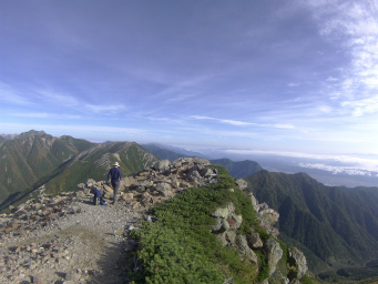
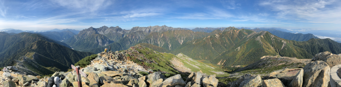
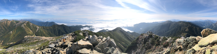
After a 1.5km steady climb, we finally arrive at the summit (2857m). The high point is a rocky outcrop that gives us another spectacular 360 degree view.
|
|
View to the West
 |
|
View to the East
 |
|
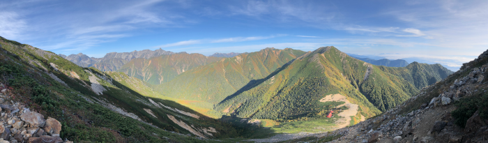
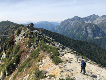
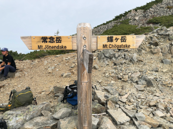
After taking in the view we turn our attention to the path ahead. Looking to the South, we can see the ridge stretching out in front of us. Our destination for today, Chogatake hut is near the far end of the ridge.
From our position at the summit, the path looks deceptively easy but as we will find out, big rocks look small when they're far away!
|
 |
| 1.7km: |
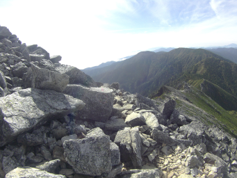
The descent is steep at first but gradually becomes a little shallower as we descend over large boulder fields. An occasional circle on the rocks indicates the route but mostly the path is visible due to a slight brown tinge on the grey rocks caused by many passing boots.
Each time I think we've crossed all the major boulders, more appear in front of us.
We make fairly slow progress but we're thankful everything is very dry. I wonder what this descent would be like after rain.
|
 |
| 2.1km: |
After descending for almost an hour, we reach a section where the ridge briefly levels out, marked by some distincitively shaped rocks. The ridge falls away steeply on both sides but the track is becoming easier with fewer boulders.
Just beyond this point, we pick a slightly open area of sand and rocks and sit down on a flat rock just off the track for a rest.
Despite our care in picking a spot that is clearly regularly used (judging by the footprints), only just off the track, and with no delicate vegetation to disturb, a passing Japanese hiker becomes very upset that we have not remained exactly on the track and insists that we move back onto the track. At this point it's not exactly clear which set of footprints is the track but she won't leave until we move to where she is indicating.
I finish my snack standing where instructed and she moves on.
|
 |
| 2.9km: |
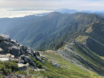
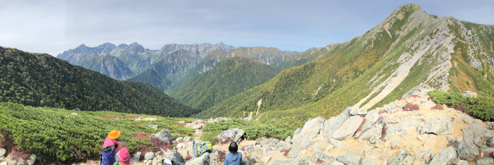
We reach the bottom of the descent and enter an area with a bit more vegetation. From here the ridge undulates up and down over several peaks and saddles with the track closely following the ridge.
|
 |
|
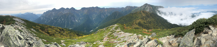
Once we reach the first peak along the ridge, we look back to assess the descent we've just made.
|
|
 |
| 5.2km: |
We continue along the ridge over several more small peaks. It's a little tiring going up and down but the track is fairly easy, sometimes through trees on the lower sections. We climb the last major peak before our descent towards Chogatake hut and stop for a hot tea while admiring the view.
|
|
 |
| 5.8km: |
Descending from the peak, the track widens into a sandy and stony path. We reach a junction where there is a track off to the right that descends steeply into the valley towards Yokoo Sanso hut.
We continue on towards Chogatake.
|
 |
| 6.9km: |
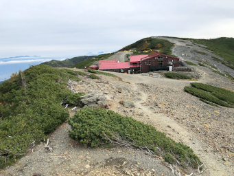
About 2.30pm, we arrive at Chogatake hut, situated just beneath the summit of Chogatake. We do a circuit of the hut trying to find the front door! A little tired, we decide to leave Chogatake summit until the next day.
I'm still not ready for Japanese hut food so it's noodles again for me. It's filling and it makes my pack lighter! We treat ourselves to a beer.
Note that at Chogatake hut there's a charge for drinking water - 200 yen per litre for cold water and 300 yen per litre for hot water.
|
 |
|
|
|
|
|
