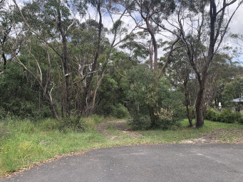
| Start: For this walk we park at the end of Bradfield Road in Lindfield. If you park very near the end you can take the track that carries on directly from the end of the road. Follow this until you reach a fork. One track goes to the right behind the houses, but take the track to the left, heading downhill. |
|
 |
| 250m: After a few hundred metres you will join a larger track. This is the Great North Walk. Turn right onto this track to head upstream. We'll do the circuit anti-clockwise. |
|
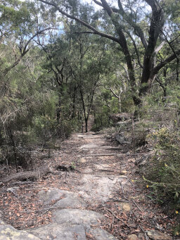 |
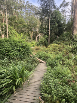
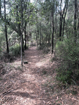
| 1km: The track is easy walking through bushland parallel to the river. The river is out of sight on this stretch. As you drop closer to the river the foliage becomes more lush and some parts have boardwalks. |
|
 |
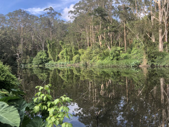
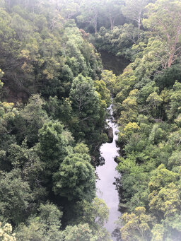
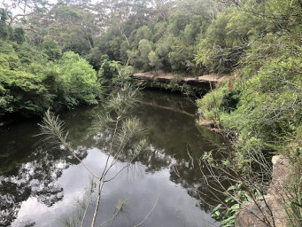
| 1.1km: You soon get your first view of the river as the track goes right down to the river's edge and then follows the river quite closely. |
|
 |
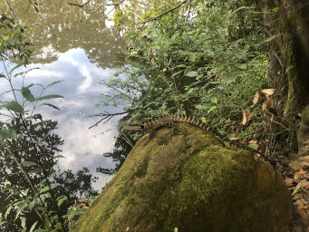
| 1.6km: There were lots of goannas along this stretch of the track. Some of them stayed still long enough for a photo. |
|
 |
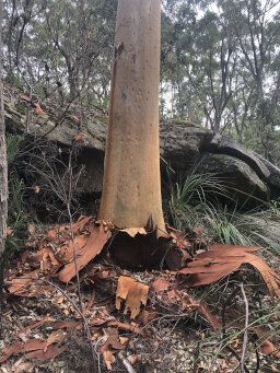
| 1.8km: I must get myself an app so that I can identify all the trees and plants I see. There's an impressive amount of bark shed from this tree. I wonder how often it does that? |
|
 |
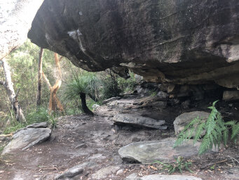
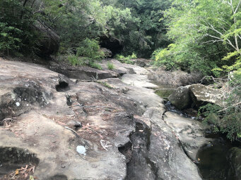
| 2.6km: Along the track there are lots of places with impressive rock formations. |
|
 |
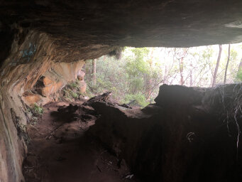
| 2.9km: At this point, we lost the track somehow for a few metres, probably not paying attention. If you look at the virtual hike page linked below you can see the point where this happened where the red markers are. We quickly found the track again and I backtracked a little to find that we had missed some impressive rock formations, including a tunnel through the rock. |
|
 |
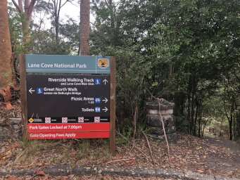
| 3.3km: Continuing along the track you come to a T junction with another track. There's a sign here indicating various tracks. Turn left, following the track towards Deburgh's bridge. A short distance along this track you will come to Blackbutt Creek. You need to cross the creek here. Once you've crossed the creek you will be on a large flat rock. Don't follow the rock along the creek but as soon as you've crossed the creek, look across the rock to find a track exiting to the South. |
|
 |
| 3.8km: Continue along the track until you meet another junction (before going under the bridge). The Great North Walk continues under the bridge but we want the right fork to follow a short track up to the road so that we can cross the bridge. From the bridge you get a good view down the river. |
|
 |
| 4.1km: Just after crossing the bridge you will see a track on the left to head back downstream. Follow this track until you meet a drive, then look for the sign that marks the entry to the Riverside Walking Track. |
|
 |
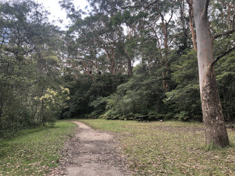
| 5.0km: The track on this side of the river is much easier walking than on the other side. An easy fairly flat track takes you through the bush. |
|
 |
| 5.8km: The track follows the river quite closely here and you get good views along the river. There seemed to be lots of fish in the river here and lots of other wildlife. |
|
 |
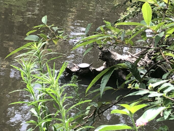
| 6.3km: Along this section we also spotted a turtle (sitting on the log in the picture). There were also lots more lizards and a large variety of birds. |
|
 |
| 7.5km: Continue following the track downstream. It starts to widen and you get the impression you're getting closer to civilisation as you pass some places where the Riverside Drive comes close to the track and there are occasional parking spots. |
|
 |
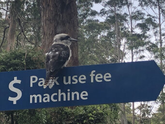
| 8.0km: You reach a larger parking area that also has barbecues. This attracts some wildlife! |
|
 |
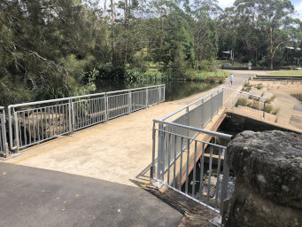
| 9.3km: Continue along the Riverside Walk and the track starts to run alongside Riverside Drive. Some parts of the track were closed here for temporary work but you can follow the drive to cross the river at the weir, where there's a bridge. |
|
 |
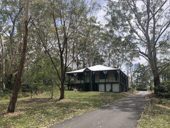
| 10.2km: Once you've crossed the bridge, turn left and follow the track back upstream. On the way you'll pass Schwarz Homestead. There's a sign telling you the interesting history. Follow the track back to where you originally joined the Great North Walk and retrace your steps to Bradfield Road. |
|
 |
|
|
|
|
|
Comments
|
| ITriedThis
I did some walks in this region again in Feb 2023. The tracks on the Middle Harbour side were very leechy. I think I had 10 leeches on each boot at one point!
The Lane Cove River side was much better; did not see any leeches. |
|
|
